Phase Three Projects – How do we currently monitor the Watershed?
Share Phase Three Projects – How do we currently monitor the Watershed? on FacebookShare Phase Three Projects – How do we currently monitor the Watershed? on X (formerly Twitter)Share Phase Three Projects – How do we currently monitor the Watershed? on LinkedinEmail Phase Three Projects – How do we currently monitor the Watershed? link
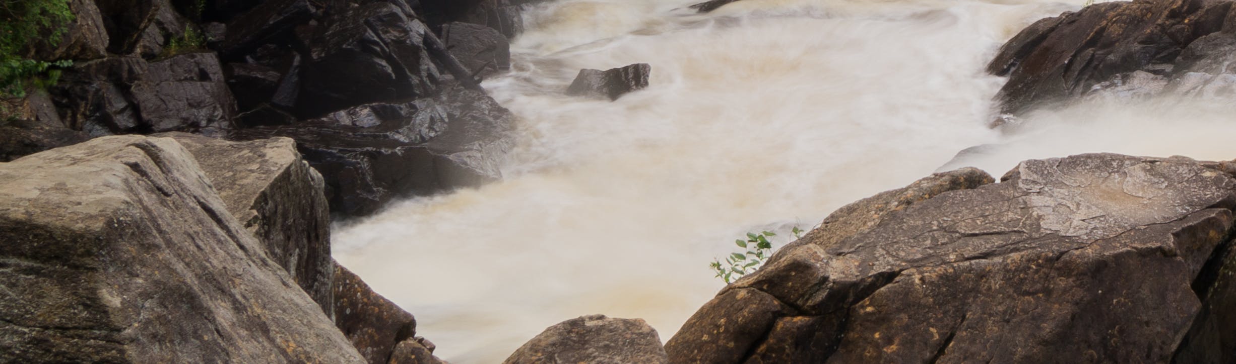
Phase three projects continue to gather information and data to monitor the Watershed we live and play in. This Phase will begin in August 2021 and continue until January 2023. This phase of projects includes retaining consultants to carry out the projects described below. The results of these projects will be posted on the District of Muskoka website.
Project 9 - Develop Watershed Health Indicators
The watershed health indicators will build on existing information and studies available for the Muskoka River Watershed and provide the environmental and ecological metrics necessary to support the implementation of Integrated Watershed Management.
Expanded scope of work to include:
Consultation with local experts to narrow the longlist of recommended indicators to a manageable list.
Research indicators to assess the effects of boating activity on the watershed.
Prepare a report on the implementation of shortlist indicators.
Project 10 - Develop Water Quality Indicators
The water quality indicators will build on existing information and studies available for the Muskoka River Watershed and will reflect emerging threats to the aquatic ecosystems of the Watershed, including:
Impacts of climate change on air and water temperature, soil moisture, seasonality of precipitation, winter patterns, and ice behaviour; and
A plan for monitoring the water quality indicators
Expanded scope of work to include the development of:
Watershed-based Citizen-science bloom watch program to collect and archive detailed data on cyanobacteria and other nuisance algal blooms.
Guidelines to support lake associations and other coalitions participating in water monitoring.
Development of a monitoring strategy for emerging contaminants, including pharmaceuticals and pesticides.
Guidance on implementation of recommendations made in the Water Quality Indicators Report.
Project 11 - The Erosion Survey
Identify locations throughout the Muskoka River Watershed where shoreline erosion has occurred as a result of fluctuating water levels. This survey includes:
A mapped inventory of locations where erosion has or could occur; and
The development of strategies or techniques to remediate and limit shoreline damage.
Project 12 - The Public Access Inventory
Identify public access points in the Muskoka River Watershed, including:
A mapped inventory of existing and potential public access points; and
The development of local policy options that support environmental, social, and economic priorities
Stay Informed:
To receive Integrated Watershed Management updates and to stay informed of all environmental initiatives being undertaken by the District, please subscribe to our courtesy notice list by entering your email address in the "Stay Informed" tool (located at the top right-hand corner of this page on your desktop, or scroll down on your mobile device) and click the subscribe button.
Share Request for Proposals Issued for Remaining Integrated Watershed Management Projects on FacebookShare Request for Proposals Issued for Remaining Integrated Watershed Management Projects on X (formerly Twitter)Share Request for Proposals Issued for Remaining Integrated Watershed Management Projects on LinkedinEmail Request for Proposals Issued for Remaining Integrated Watershed Management Projects link
The District of Muskoka is pleased to announce that the remaining projects of the Making Waves: Integrated Watershed Management initiative were released this week. Competition closes on February 18, and it is anticipated that the selected consultants will begin work on the projects this Spring.
These projects include:
A land use policy review
Identifying watershed health indicators
Identifying water quality indicators
A shoreline erosion survey
A public access inventory
You can follow the Making Waves Initiative by clicking the “subscribe” button and entering your email address. You will receive important project updates, including announcements of when consultants are selected and when reports are published.