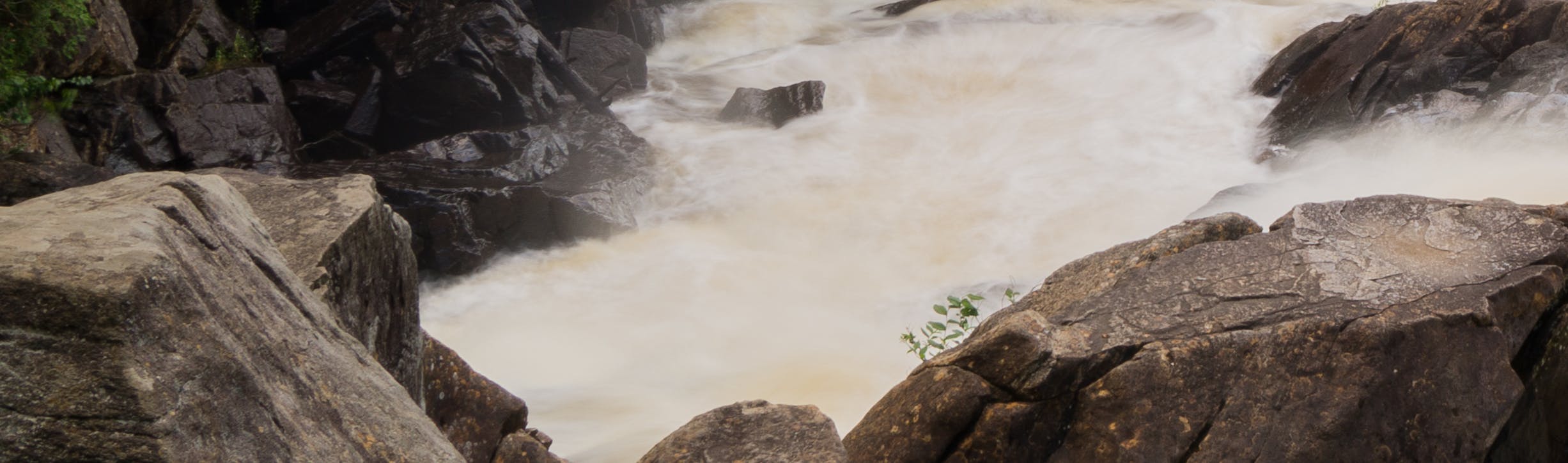
Expanded Flood Plain Mapping Underway!
Did You Know? The District of Muskoka completed 1,509 square kilometers of LiDAR Mapping and 1,404 kilometers of shoreline floodline mapping in 2020. Check out the Muskoka GeoHub to see the results!
Building on the 2020 mapping results, the District has initiated a second phase of flood plain mapping. HATCH Ltd. is leading the mapping project, which is part of the Making Waves: Integrated Watershed Management Initiative. The mapping project is expected to be completed this winter, and site survey and mapping locations will be shared as soon as the data is available.
Be sure to subscribe to the Making Waves: Integrated Watershed Management Initiative page to receive important project updates.
Share Expanded Flood Plain Mapping Underway! on Facebook
Share Expanded Flood Plain Mapping Underway! on X (formerly Twitter)
Share Expanded Flood Plain Mapping Underway! on Linkedin
Email Expanded Flood Plain Mapping Underway! link
