Phase One Projects: Evaluating Existing Condition in the Watershed
Task Force Establishment
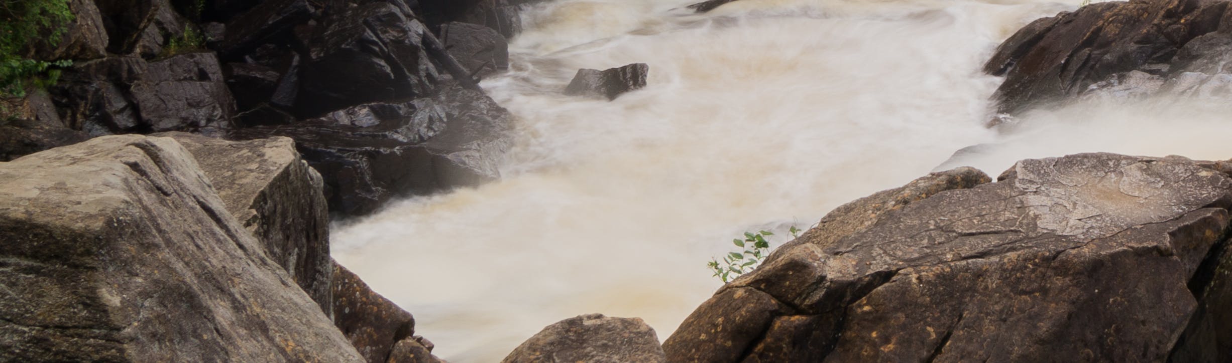
Making Waves: Integrated Watershed Management
The early phase of IWM involves collecting information about the existing conditions in the watershed. There is a significant amount of existing data on the Muskoka River Watershed, but it is in varying formats and across disparate organizations and requires various types of analysis to be useful for this initiative. For this reason, the District Municipality of Muskoka has engaged key local, and subject matter experts to be part of a series of technical working groups (i.e., Task Force) to assist in characterizing the watershed. By design, these Task Forces are intra-disciplinary, each focusing on water quantity, water quality, or land/terrestrial detail. Task Force members will participate in developing project scope, reviewing project deliverables, and addressing technical questions as they arise.
--
Phase One Projects evaluate the existing conditions of the Muskoka River Watershed. This phase will start in July, continue through August 2022, and includes retaining consultants to carry out the projects described below. The results of these projects will be posted on the District of Muskoka website.
Project 1 - Hydrological Model
Develop a model that incorporates the ecological structure and dynamics of the Muskoka River Watershed and characterizes its functions, such as:
How floods originate and how they are distributed across the Watershed
What cost-benefits are associated with watershed management actions
The influence of climate change and land use on flood potential; and
Scenarios for determining the best location and types of flood storage infrastructure (i.e., expanding wetlands and forest blocks)
The hydrological model will build on existing information and studies completed for the Muskoka River Watershed, such as:
Existing open-source hydrologic, hydraulic, and real-time simulation models
Streamflow data available from gauging stations located in the Watershed
Existing floodplain mapping.
Expanded scope of work to include:
- Modelling various scenarios, including changes to climate, land use, or infrastructure.
- Low flow analysis.
- Additional Reporting.
Project 2 - Operational Adjustments Study
Identify operational adjustments to inform water management planning in the Muskoka River Watershed that could reduce spring flooding, such as:
Mitigation strategies that focus on reducing the impacts of flooding and are responsive to where and why flooding occurs
Opportunities to develop and implement models and systems that could enhance the ability to predict the magnitude and timing of floods
Role of land use planning to minimize flood impacts and inform future land use decisions and policy\
Project 3 - Examine Localized Structural Mitigation Measures
Explore conventional and green/natural infrastructure flood mitigation approaches for specific flood-prone areas of the Muskoka River Watershed. The structural mitigation options will include:
Impact of climate change on the water system and considerations for developing structural and non-structural flood mitigation tools;
Options for conventional and natural (green) infrastructure modifications to mitigate flooding; and
Identification of scope, costs, and requirements for preliminary design
Expanded scope of work to include:
- Develop depth-damage curves for major lakes and rivers in the watershed.
- Provide an estimate of the “damage” spawned by the Regulatory event before implementing any flood risk mitigation measures.
Project 4 - Expand Floodplain Mapping
Prepare floodplain mapping across unmapped and vulnerable areas prone to flooding in the Muskoka River Watershed. This project will include:
Light detection and ranging (LiDAR) survey data and imagery;
Results of hydraulic and hydrologic investigations; and
Floodplain mapping for selected river reaches and lake areas.
Expanded scope of work to include:
- New LiDAR collection.
- Modelling and floodplain mapping for new areas including Kawagama Lake.
Project 5 - Natural Capital Inventory
Identify, assess, inventory, and map natural capital (including water, land, air, and renewable and non-renewable resources, such as plant and animal species, forests, air, water, and soils) within the Muskoka River Watershed. This includes a mapped inventory of critical natural features such as woodlands, wetlands, watercourses, and valley lands.
Expanded scope of work to include:
- Strategies to reduce file size, data hosting opportunities and flow direction symbology for the hydrologic network.
- Refinement of land cover types by updating the training data with emphasis on agricultural lands, anthropogenic areas (e.g., golf courses) and rock barren/anthropogenic impervious areas.
- Development of a framework to pre-screen the status of wetland features using Ontario Wetland Evaluation System (OWES) criteria.
- A regional wildlife habitat connectivity analysis (using deer wintering habitat) to develop a habitat connectivity model and evaluate the importance of corridors to support ecological connections.
Stay Informed:
To receive Integrated Watershed Management updates and to stay informed of all environmental initiatives being undertaken by the District, please subscribe to our courtesy notice list by entering your email address in the "Stay Informed" tool (located at the top right-hand corner of this page on your desktop, or scroll down on your mobile device) and click the subscribe button.
Final Reports
-
 Hydrological Model - Final Report (40 MB) (pdf)
-
Structural Flood Mitigation Options - Final Report (34 MB) (pdf)
-
Operational Adjustments Study - Final Report.pdf (4.73 MB) (pdf)
-
Natural Capital Inventory (NCI) - Final Report.pdf (2.37 MB) (pdf)
-
NCI - APPENDIX A - Land Cover.pdf (13.2 MB) (pdf)
-
NCI - APPENDIX B - Wetlands.pdf (16.6 MB) (pdf)
-
NCI - APPENDIX C - Vernal Pools.pdf (9.39 MB) (pdf)
-
NCI - APPENDIX D - Watercourses.pdf (11.5 MB) (pdf)
-
NCI - APPENDIX E - Rare Species and Habitat Suitability.pdf (5.09 MB) (pdf)
-
NCI - APPENDIX F - Stormwater and Spring Runoff Capacity.pdf (13.2 MB) (pdf)
-
NCI - APPENDIX G - Significant Wildlife Habitat.pdf (20.3 MB) (pdf)
-
Expand Floodplain Mapping - Final Report (4.9 MB) (pdf)
-
Map - AA Black River.pdf (24.2 MB) (pdf)
-
Map Set BB - Lake of Bays.pdf (84.3 MB) (pdf)
-
Map Set CC - Georgian Bay.pdf (21.4 MB) (pdf)
-
Map Set DD - Twelve Mile Bay.pdf (10.5 MB) (pdf)
-
Map Set EE - Stewart Lake.pdf (2.51 MB) (pdf)
-
Map Set FF - Three Mile Lake.pdf (9.46 MB) (pdf)
-
Map Set GG - Skeleton Lake.pdf (13.8 MB) (pdf)
-
Map Set HH - Kahshe Lake.pdf (38.7 MB) (pdf)
-
Map Set II - Gloucester Pool.pdf (23.2 MB) (pdf)
-
Map Set JJ - Six Mile Lake.pdf (43 MB) (pdf)
-
Map Set KK - Go Home Lake.pdf (24.9 MB) (pdf)
-
Map Set LL - Leech Lake.pdf (1.15 MB) (pdf)
-
Map Set MM - Pine Lake.pdf (1.7 MB) (pdf)
-
Map Set NN - Prospect Lake.pdf (1.62 MB) (pdf)
-
Map Set OO - Wood Lake.pdf (4.61 MB) (pdf)
-
Map Set PP - Healey Lake.pdf (3.43 MB) (pdf)
-
Map Set QQ - McKay Lake.pdf (1.79 MB) (pdf)
-
Map Set S - North Branch - US Bracebridge.pdf (9.23 MB) (pdf)
-
Map Set T - North Branch - US Mary Lake.pdf (5.92 MB) (pdf)
-
Map Set T - North Branch - US Mary Lake.pdf (5.92 MB) (pdf)
-
Map Set U - North Branch - Port Sydney.pdf (13.8 MB) (pdf)
-
Map Set V - Fraserburg.pdf (15 MB) (pdf)
-
Map Set W - South Branch - DS Matthias.pdf (8.46 MB) (pdf)
-
Map Set X - Moon River.pdf (32.9 MB) (pdf)
-
Map Set Y - Musquash River.pdf (35.4 MB) (pdf)
-
Map Set Z - Bent River.pdf (5.41 MB) (pdf)

Report Summary Factsheets
-
Hydrological Model - Report Summary (664 KB) (pdf)
-
Operational Adjustments Study - Report Summary (596 KB) (pdf)
-
Examine Structural Mitigation Measures -Report Summary (1.32 MB) (pdf)
-
Natural Capital Inventory - Report Summary (1.58 MB) (pdf)
-
Floodplain Mapping- Report Summary Factsheet (1.34 MB) (pdf)
Expanded Projects - Final Reports
-
Hydrological Models - Additional Scenarios - Final Report - Expanded Project.pdf (4.13 MB) (pdf)
-
Depth-Damage Curves Final Report_revised.pdf (13.3 MB) (pdf)
-
Floodplain Mapping Study - Final Report - Expanded Project.pdf (12.4 MB) (pdf)
-
Map Set RR - Hollow River.pdf (1.43 MB) (pdf)
-
Map Set SS - Kawagama Lake.pdf (48.3 MB) (pdf)
-
Map Set TT - Trading Bay.pdf (1.19 MB) (pdf)
-
Muskoka River Watershed IWM Natural Capital Inventory - Expanded Project Consolidated Report (143 MB) (pdf)